The Sierras (so far)
South Lake Tahoe was the beginning of the 4th section going south: the Sierras, our second to last section (!!). We’d been hearing magical things about it for hundreds of miles, how it’s been every NOBO’s favorite. But, we have to see for ourselves, right? So there we went!
I’ll split this post into the stretches between town stops:
South Lake Tahoe to Sonora Pass (74 miles / 118 km)
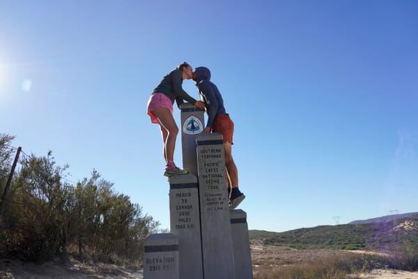
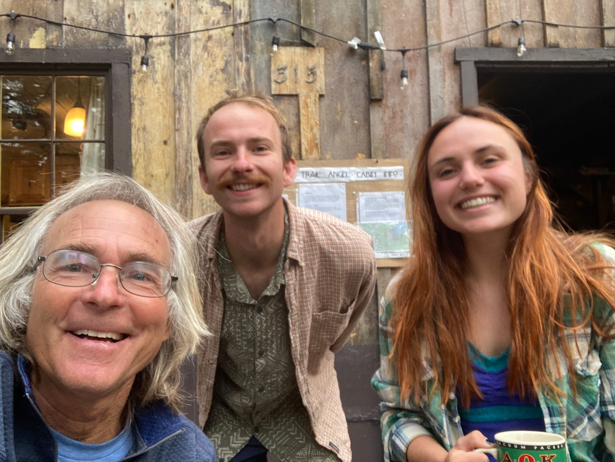
We felt the “Tahoe blues” immediately after leaving the trailhead at Echo Lake. We had just spent an unforgettable weekend with our friends, who traveled all the way from San Francisco to meet us and were reminded of how lucky we are to have them in our life. The weekend felt like stepping back into our old life, “real life”, as if nothing had happened - not that we’d hiked 1600+ miles and graduated from a PhD program since we moved out of the city. So going back to the trail was definitely hard. We were able to say a gradual goodbye: Pate leaving us Sunday morning to go see the Giants, Max, Grace and Dom driving us to the trailhead later in the morning, and Cilla, Francesca, Quinn, Ali, Savannah and Tuck walking with us for a mile south on the PCT. We walked south leaving behind the (very blue) Lake Tahoe and hiking up to the ridges once more. The morning after our departure we met the volunteers at Carson Pass (highway 88) who gave us some snacks and great conversation.
We continued our walk to Sonora Pass, going back to chatting all the time and not listening to audiobooks or music, since the external battery we use to charge our phones stopped working. Our phones are also our map, so we had so conserve battery for navigation.
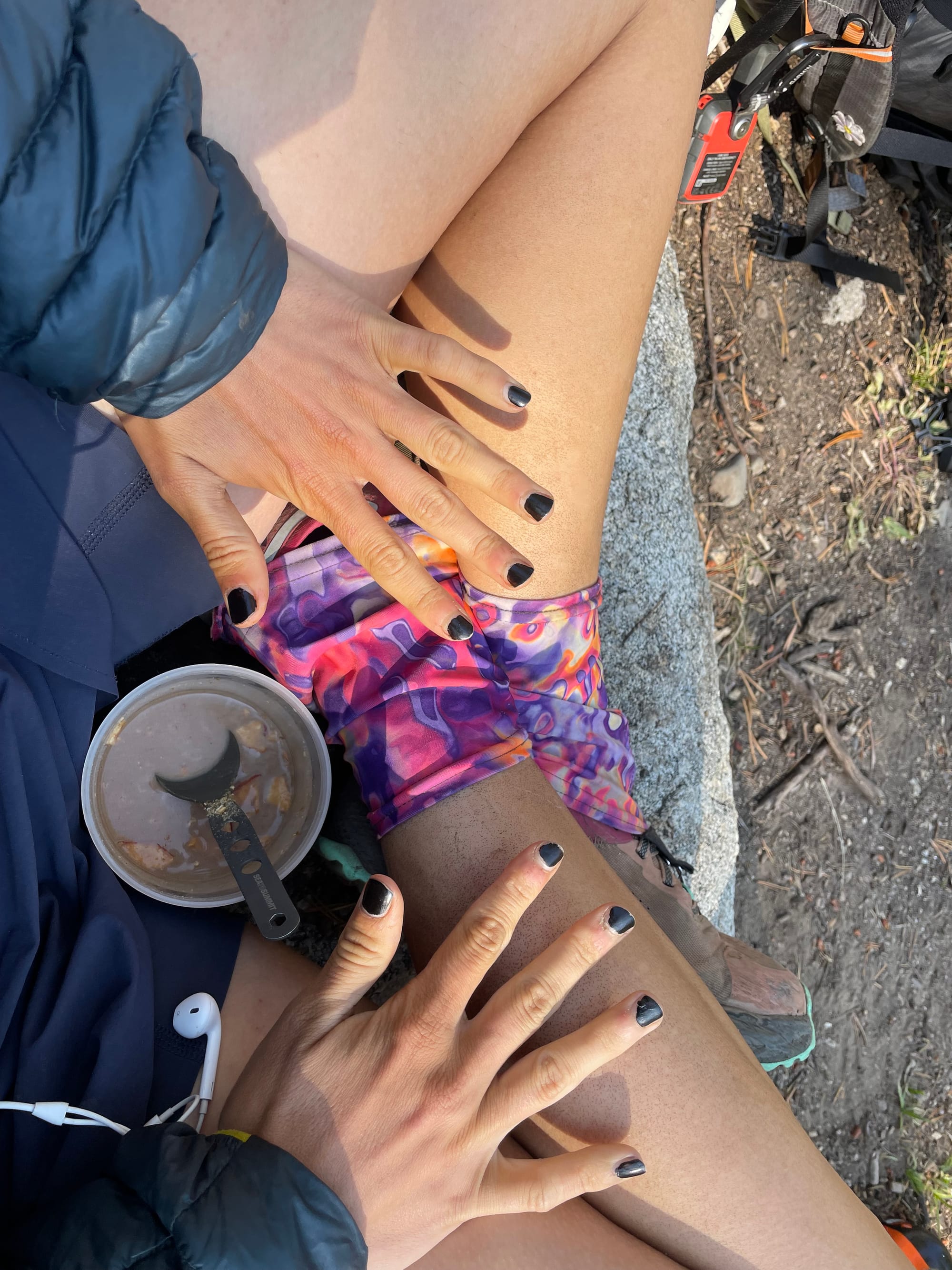
One highlight of this stretch were my nails. Ali painted them with what she called the “bada$$ black nail polish”, I felt VERY cool with my new nails and new hair color (Quinn dyed it with henna as per the explanation on last post).
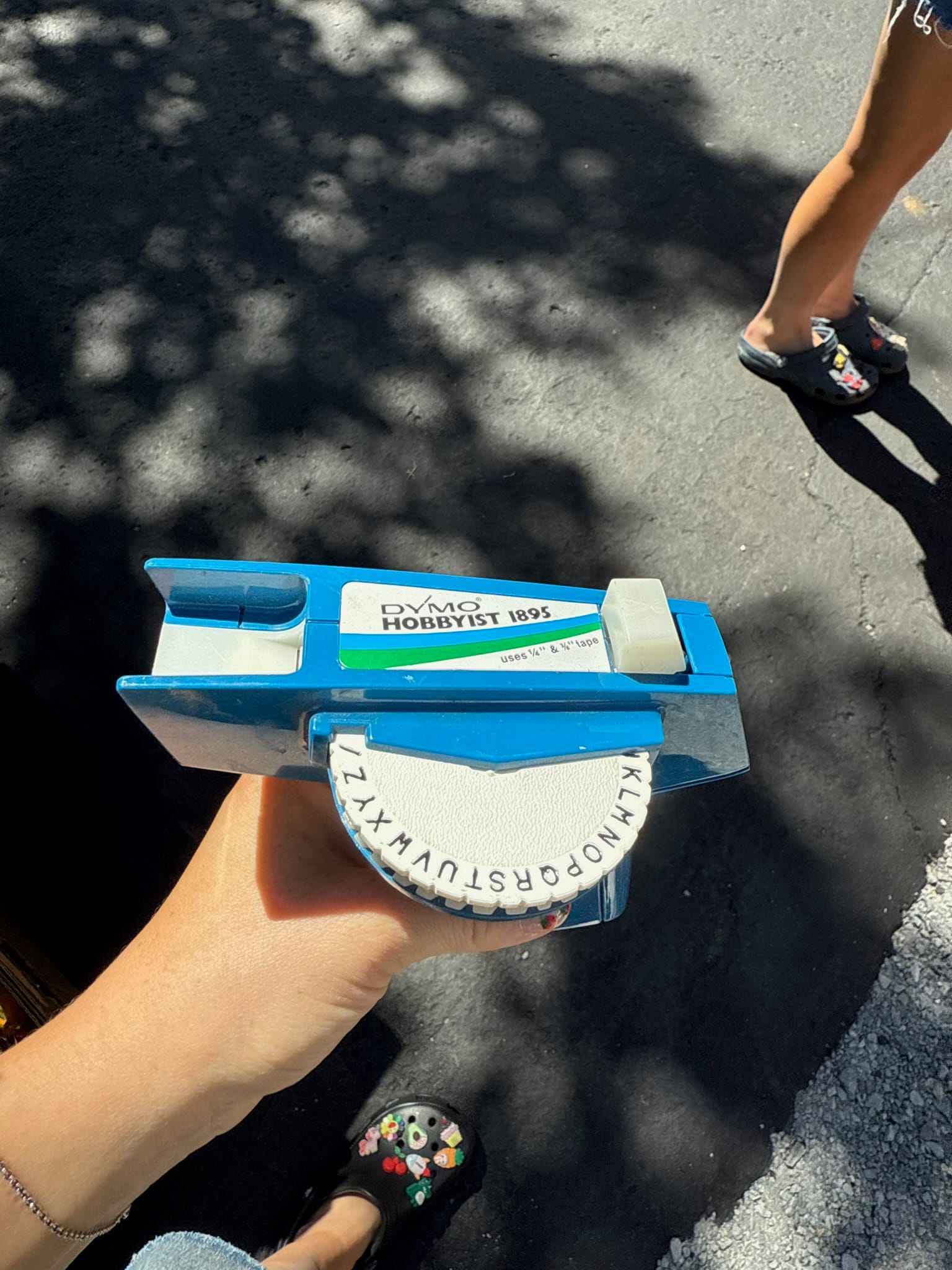
We also found a lot of labeled items on our backpacks that Cilla had snuck under our noses. The story behind this is that she found an old label maker at a garage sale in South Lake Tahoe during the weekend and labeling things became the newest entertainment.

As fun as Tahoe was, we also left town very tired - emotionally and physically as we didn’t manage to sleep much. We started scheming about taking a longer rest in our next stop, which would be Sonora Pass. We found a trail angel, “Cookies”, who lives in Pinecrest and hosts hikers in his cabin. We headed to his place hitching with an 80 year old couple that we met at the PCT trailhead and helped Cookies move his sailboat and his neighbors’ Renne back into the cabin for the winter season. We had a wonderful time in the cabin and shared dinner and breakfast with Cookies who kindly cooked for us.
Sonora Pass to Mammoth Lakes (110 miles / 176 km)
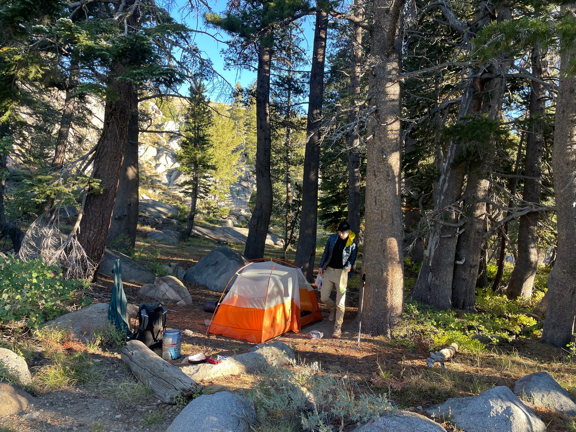
Before heading back to the trail we stopped at the popular Kennedy Meadows North resort where we picked up the resupply box that Eric and Kirsten had sent from Seattle - thanks for the food and the super thoughtful note. We also replaced our external battery!! Audiobooks and music ARE BACK!!! We got a hearty second breakfast / lunch at the resort and met some new hikers, who happened to celebrate a hiker’s, “Wind Piss”, birthday and shared some cake with us. Then, we headed to the trail even though rain clouds were approaching in the sky. We were able to camp before the rain started, near a river and under the trees.
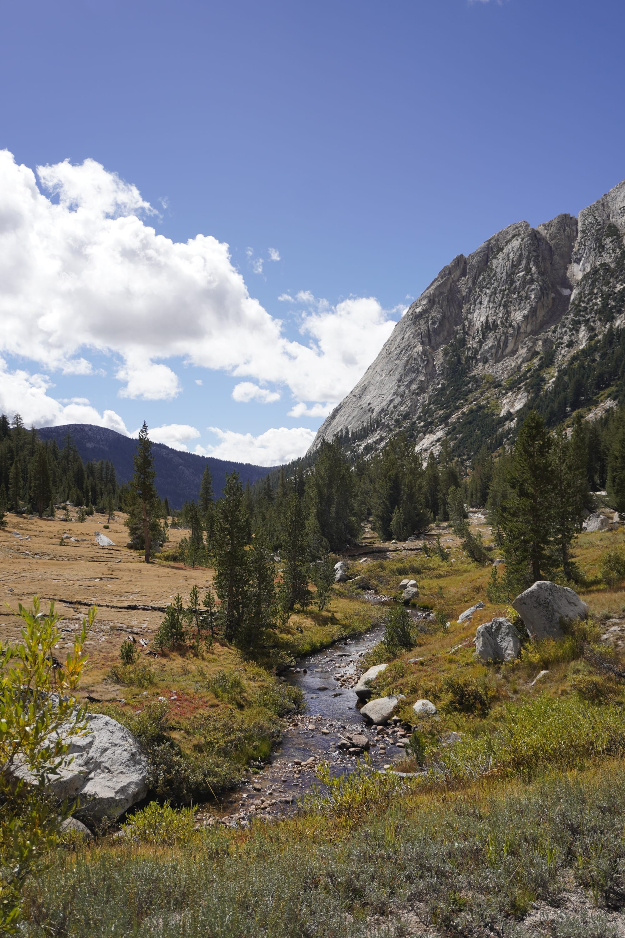
Then, we decided to take an alternative route skipping 40 miles on the PCT to go on a 31 mile more direct route that went over 4 passes instead of 2. So, less mileage but more elevation. We can’t compare the trail we did with the PCT because we didn’t hike both, but were SO HAPPY with the views we got and places we got to experience. We got a taste of the Sierras elevation, where you go up high passes only to go down to lower elevation and do the same over and over again.
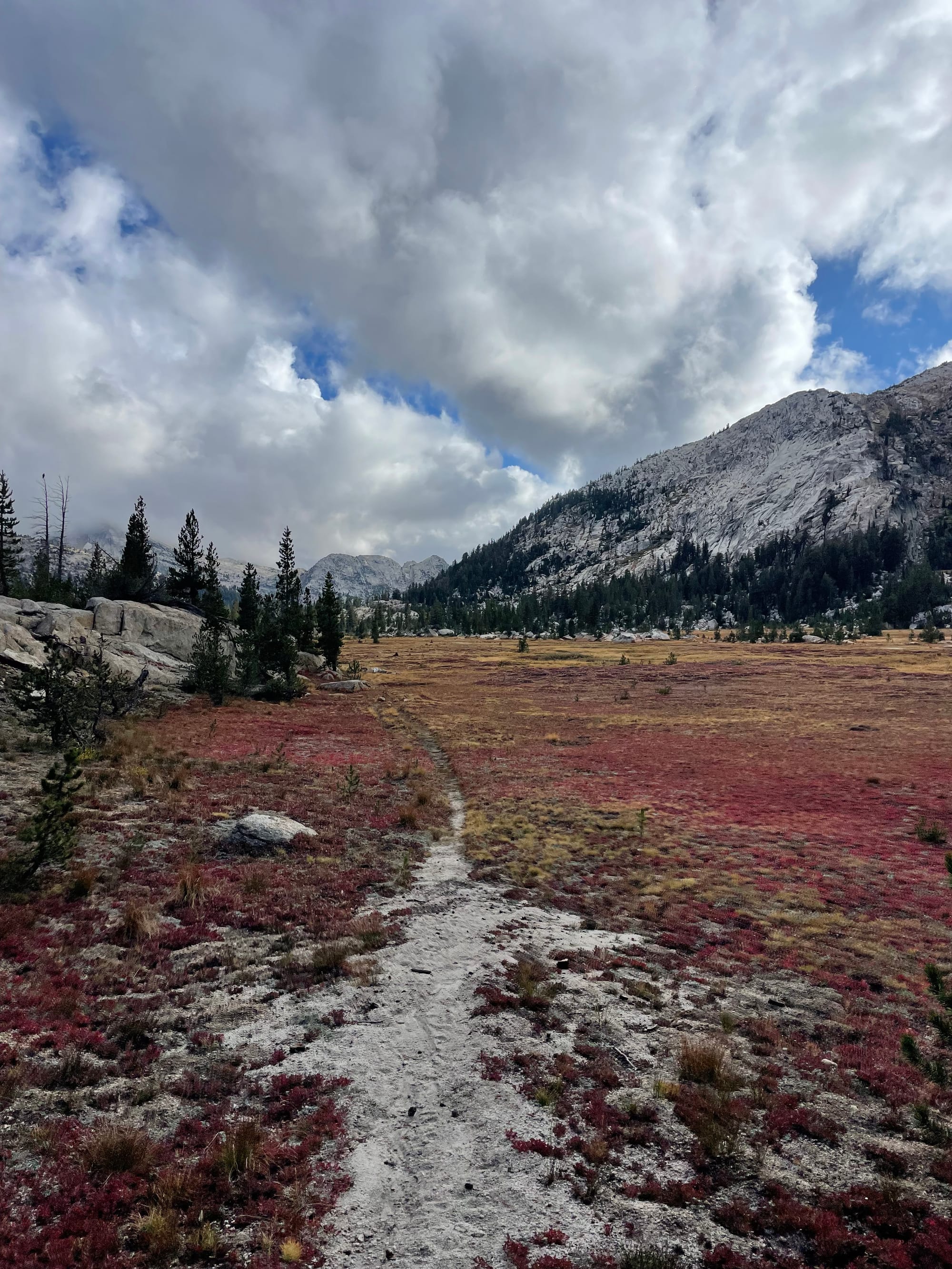
This area, in the northern limits of Yosemite, was one of my favorite so far on the trail and I felt grateful to experience our home National Park in a whole different way. All our readers here who live in SF or California, please head to northern Yosemite in your next backpacking/camping trip - you won’t regret it.
We continued our journey to Tuolumne Meadows on Tioga Road. That’s a popular area in Yosemite National Park and it has a little food shack and store. We got there on the last day they were opened for the season and were able to get a bunch of fun snacks for 25% or 50% off as well as breakfast burritos. We reunited with some trail friends, Jock Strap, Swimmer, and Forage - we hiked with Jock Strap for the rest of the day, while Swimmer and Forage headed to the Valley to see El Capitán and other quintessential Yosemite classics.
We camped at Thousand Island lakes (again, if you live in SF, please head out there next time you can!!). We got there late and couldn’t see the views as it was dark, but we had the most amazing morning reveal of them. We splurged with hot coffee, watched the sunrise and took so many pictures. The phrase “how did we get so lucky?” was on repeat in our brains.

After an amazing morning, we started hiking at full power (“powa”, go read Pate’s post for the reference) to get to Mammoth lakes, where we had a treat waiting for us. We took an unofficial alternative route in the last couple of miles into town, which turned out to NOT be a trail and we had to bushwack between fallen trees on a very steep side of a mountain. We (more or less) succeeded and made it to Horseshoe lake. Just before getting there, we came upon Owen and Pate, Miles’ brother and cousin respectively, who had hiked in 0.5 miles to meet us. The ”Spoonlickers“ were reunited, and had added a new member to the crew.
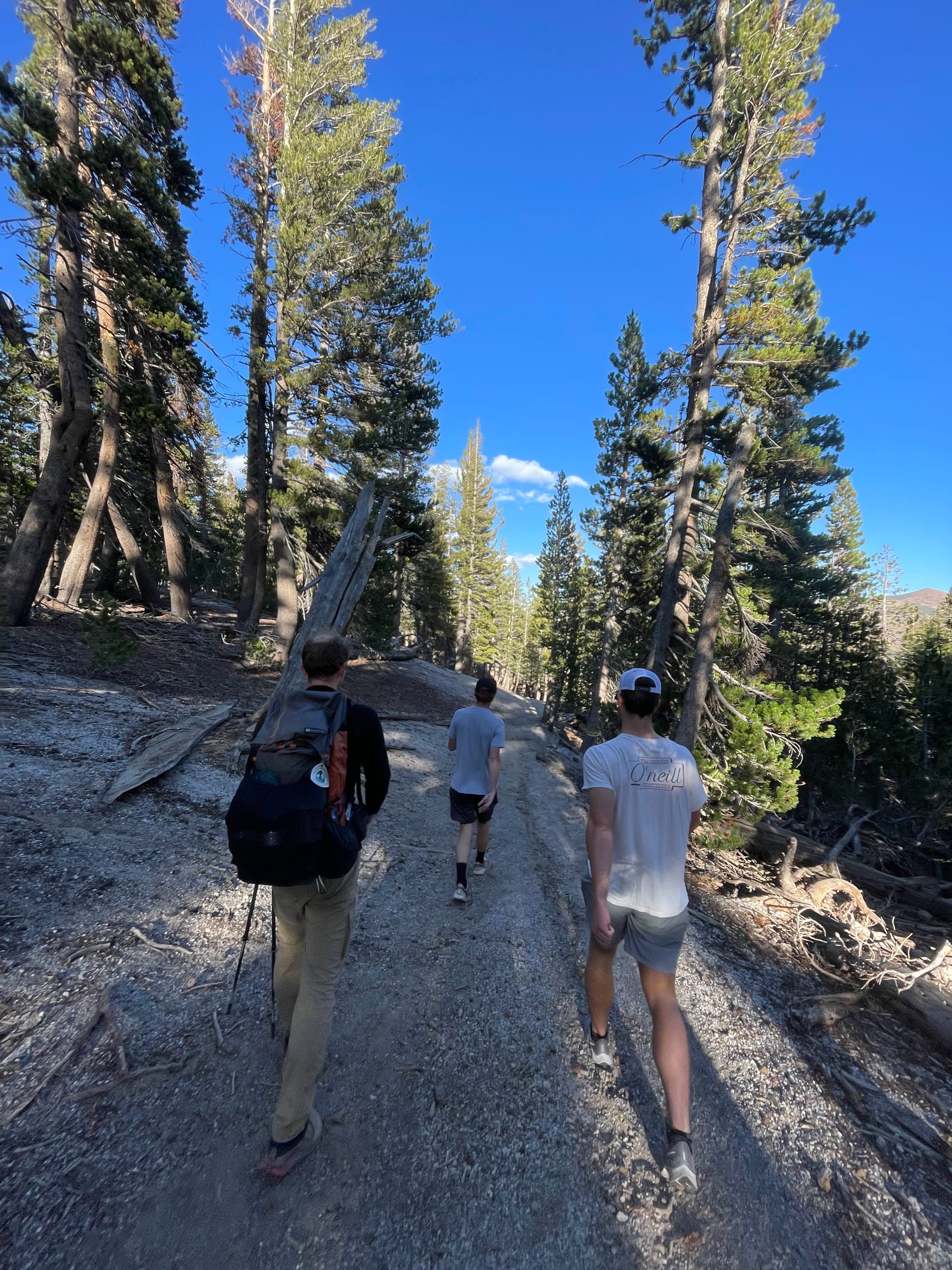
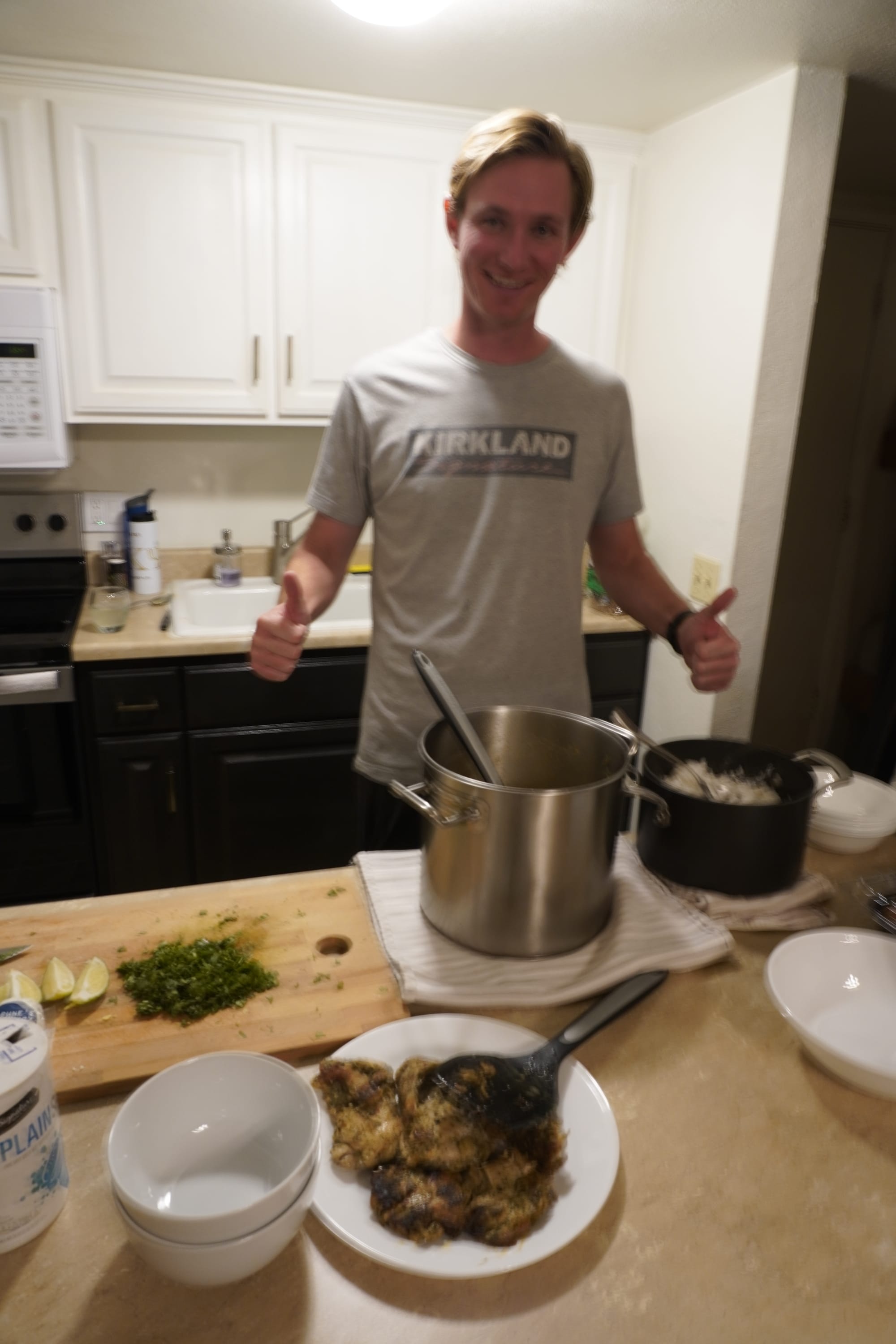
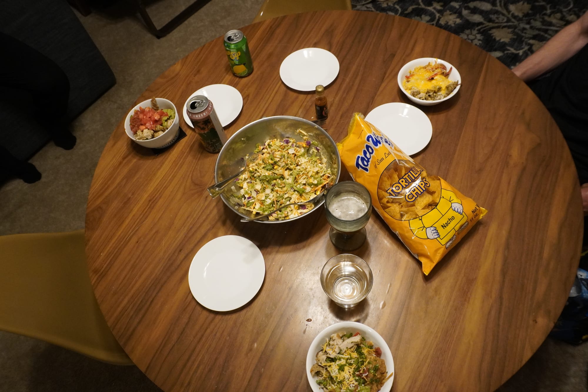
Pate’s truly become what I call our traveling trail angel. He brought us some resupply items, spare clothes for us and drove us around town. Owen and Pate also cooked dinner for us!! We all took a well deserved “zero day” in Mammoth Lakes, eating good food and watching shows and movies.
Mammoth Lakes to Bishop (118+7 miles / 189+11 km)
This time, very well rested, we returned to the trail without realizing what was really ahead of us. This was one of the longest stretches on the trail yet, and we had not fully mentally prepared for the peaks ahead of us. This is where the High Sierras really begins, with all its glory and high passes. I’ll add a little diagram here about our journey. The image is Nobo, so it’ll be reversed for us, starting at Donohue pass.
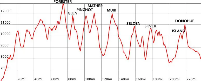
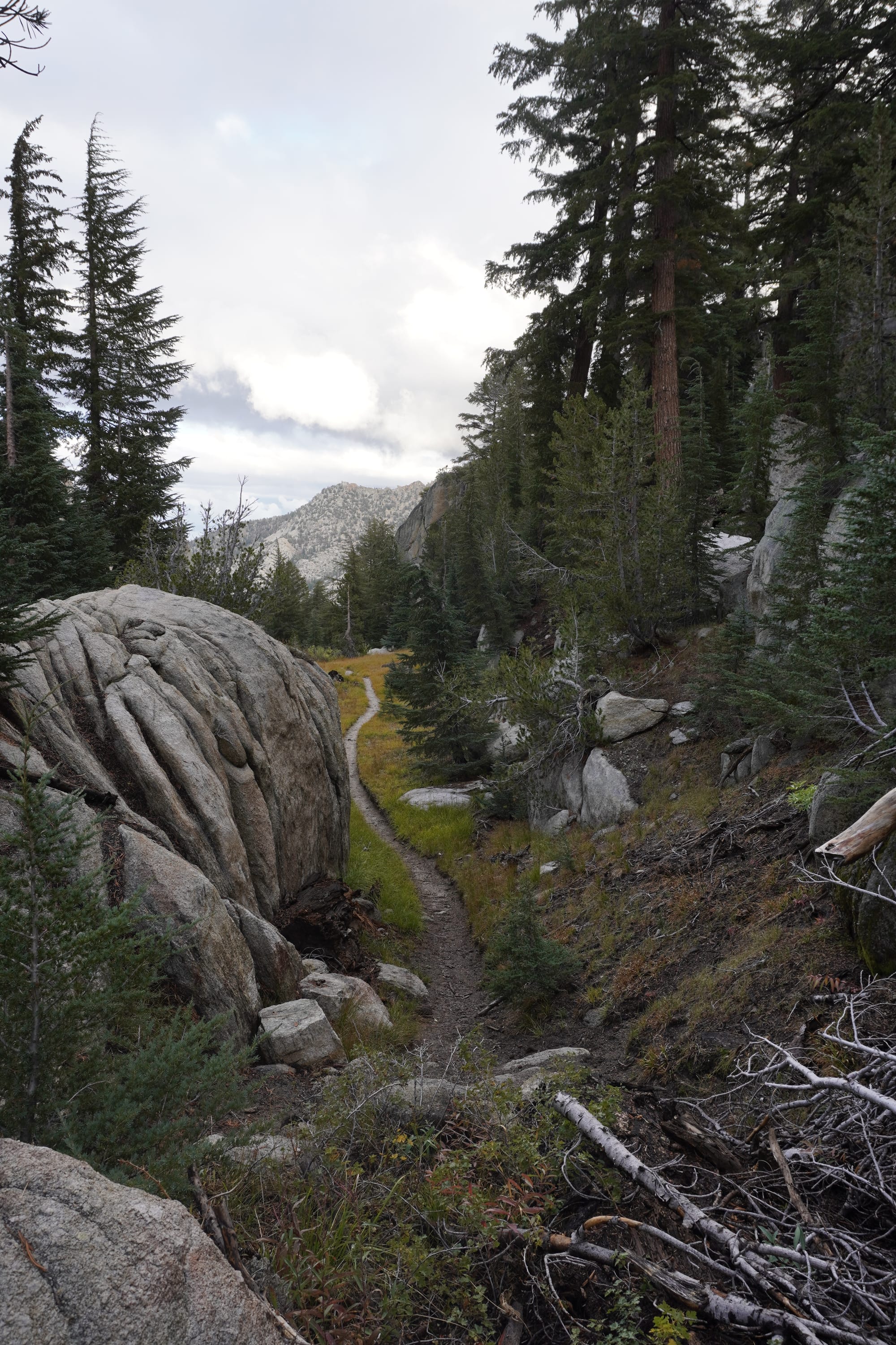
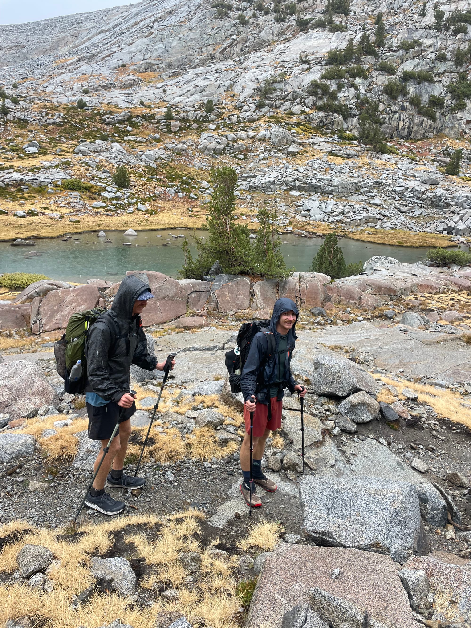
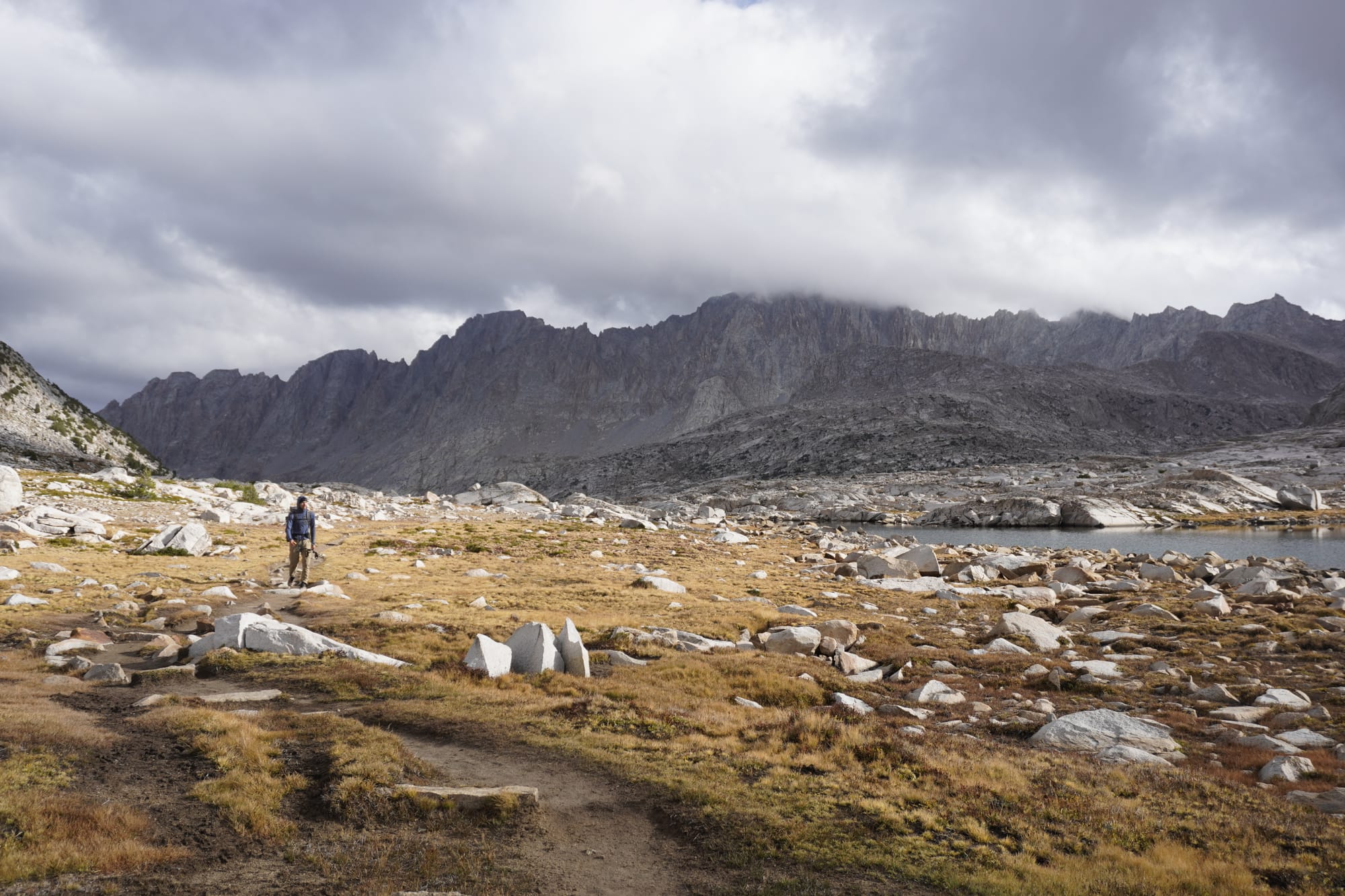
Do you see that zig zag? Well, we hike up usually to 12,000 ft / 4000 m, then go down to around 8,000 ft / 2300 m, and go up again once more. We did Selden in one day, Muir in another, Mather and Pinchot pass on the same day, and lastly Glen and, and extra pass to get off of the trail, Kersarge pass. Needless to say, our legs are feeling it and we have not been able to reach our usually 25 miles a day, frequently having to stop at around 22 or 23 miles. I’ll write a whole note on weather at the end of this post, or maybe the next one, but we’ve had to time our hiking with the rain, since we‘ve had rain nearly every single day of this stretch. Sometimes we’ve dodged it (setting camp at 4pm and then hiking 10pm to 2am) or just accepted to get wet and hiking under the heavy rain.
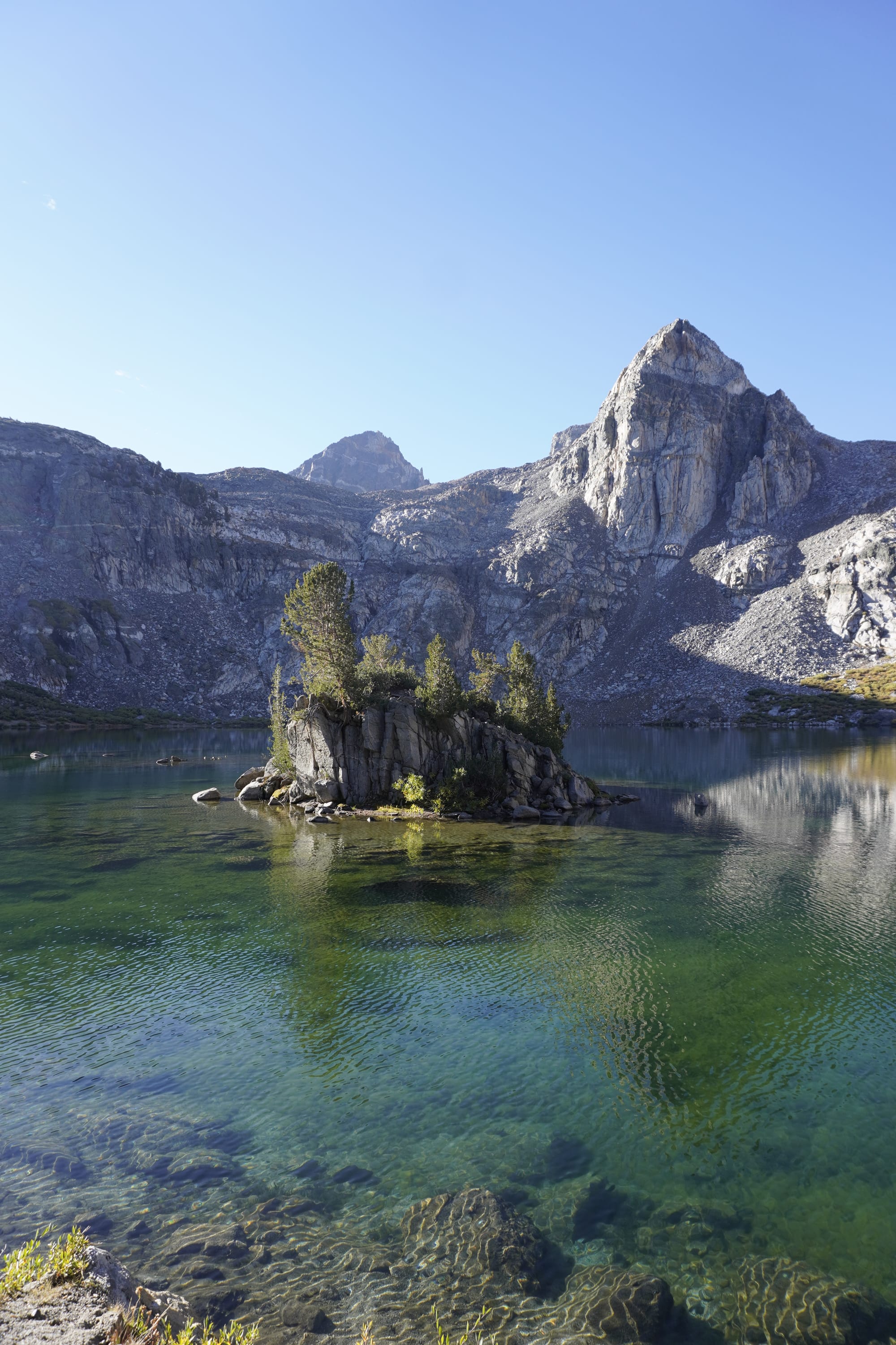
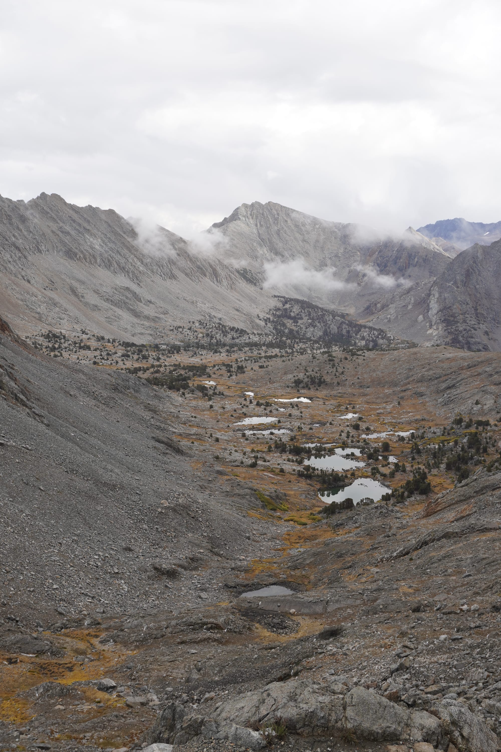
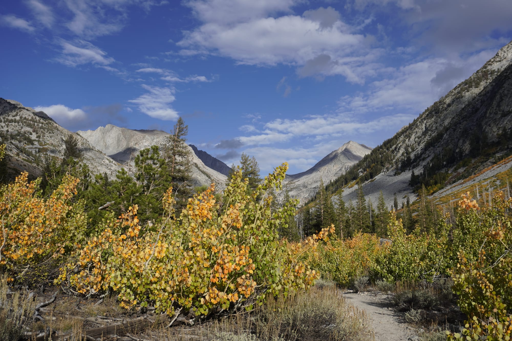
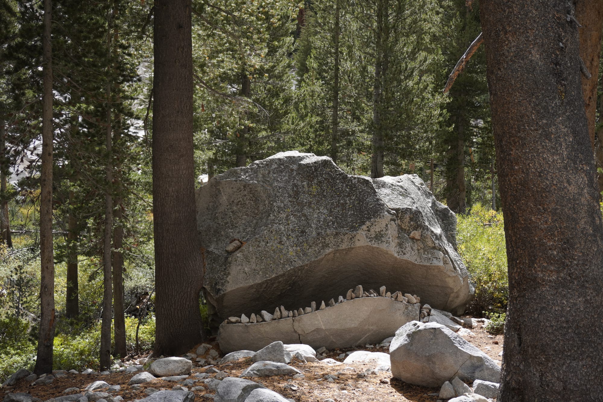
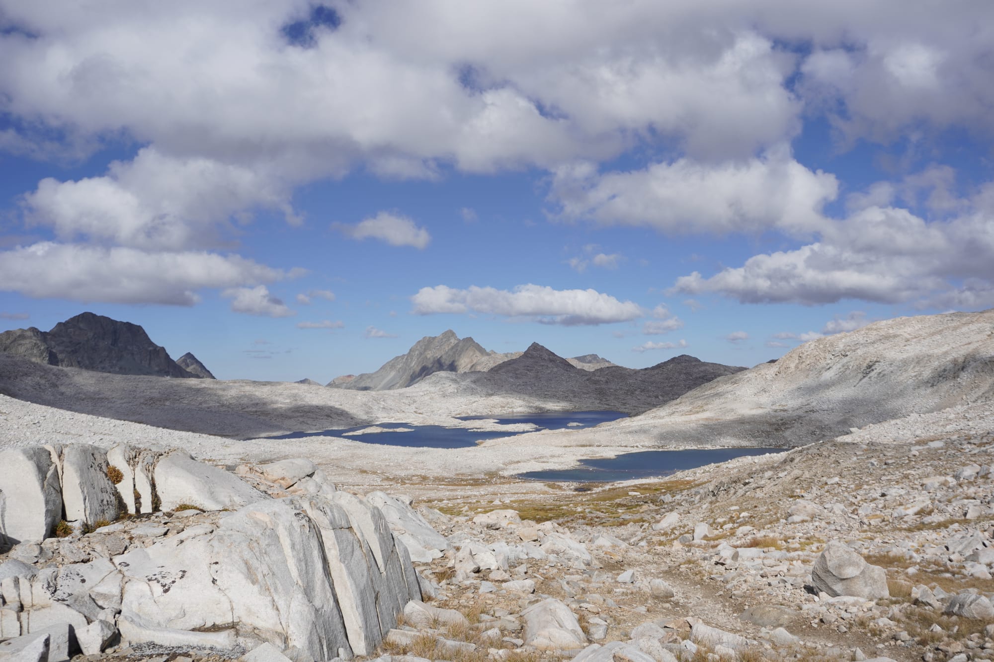
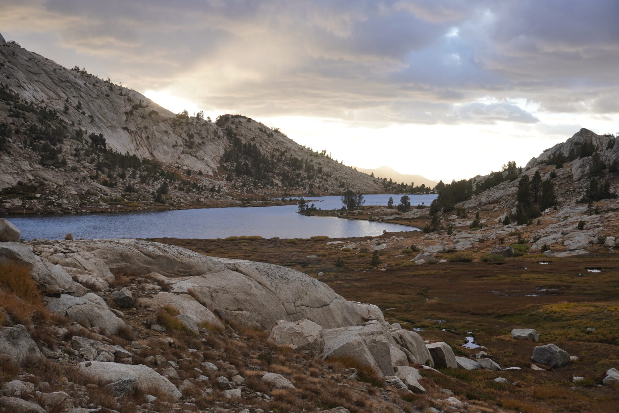
So, it’s been a hard section but it’s also been absolutely stunning. To say “it was worth it” would be a gross understatement. We’ve been hiking in the deep of the Sierras, with literal 360 views of mountains, but not only that, there’s another layer of mountains (or two, who knows!) behind the 360 views. Here are some pictures, I couldn’t decide which one I like the most:
The Sierras bring us gratitude for our freestanding tent and our 20F quilt, which keep us dry and warm every night. We’re also grateful for our bodies, specifically our legs that allow us to walk such distances to experience this part of the world. Again the feeling of… “can you believe we’re here?”.
This section is hard and we love it, but after 5 and a half days, we needed more food and rest. There’s only one way out of the Sierras: up and over. We detoured 7 miles out of the way through Kersarge pass to get to civilization (a popular PCT strategy here). We met “Hot Shot” on the trail, another sobo hiker, whose boyfriend Mike was picking her up at the trailhead. They very kindly offered us a ride. From the trailhead, you need to drive down a windy road to the town of Independence, on highway 395. Then it’s a straight shot to Bishopc where we are taking a zero right now to rest, recover and get more food for the last Sierra stretch, from Bishop to Kennedy Meadows South.
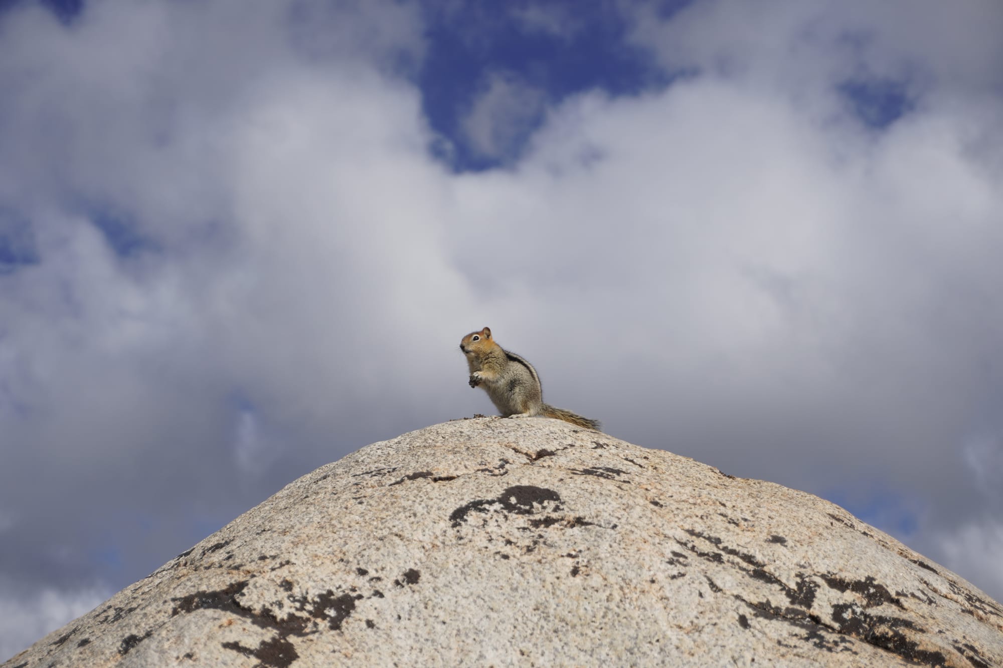
This blogpost is getting too long, so there will be another post on weather. To sign off, I’ll leave you with a cute friendly picture of a squirrel. Give it some love in the comments?
Best,
-Daisy 🌼